Land & topographic surveys
Measure the terrain, levels and features that define your site. Establish the survey foundation for planning, design and development.

Surveying & mapping specialists
From open land and active construction sites to complex structures and underground utilities, we bring specialist surveying and mapping expertise to projects across the Kingdom.
Our capabilities
Conventional fieldwork, advanced data capture and digital mapping. A broad range of services for the different demands of your project.
Measure the terrain, levels and features that define your site. Establish the survey foundation for planning, design and development.
Survey support for active construction sites and mechanical works, where conditions change and measurements need to relate to the work in progress.
Capture complex structures and spaces as point clouds. Develop detailed digital representations for measurement, modelling and volume applications.
Investigate what lies below the surface. Locate and map utilities and subsurface anomalies using complementary detection methods.
Measured data for linear routes, site quantities and volume computations, supporting planning and construction requirements.
Bring field measurements into drawings and mapped deliverables, with survey manpower and equipment support for your project team.
Technology & expertise
A single survey method does not suit every assignment. Our capabilities span GNSS measurement, 3D laser scanning, mobile LiDAR and underground detection.
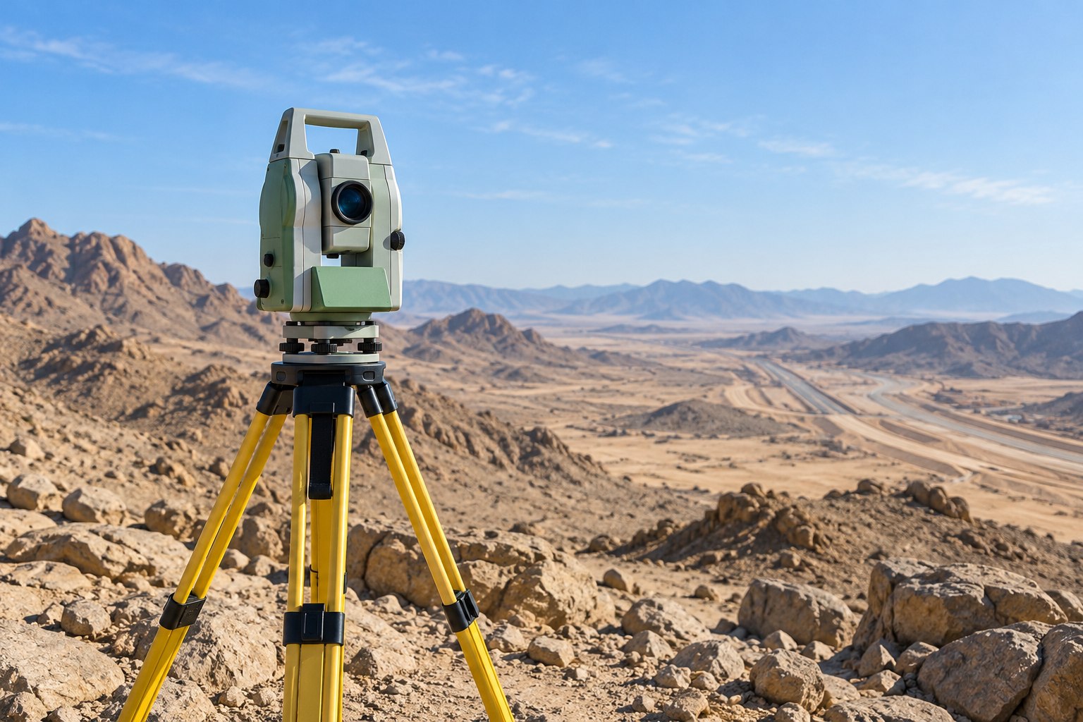
Conventional and GNSS surveys for terrain, site features and construction requirements.
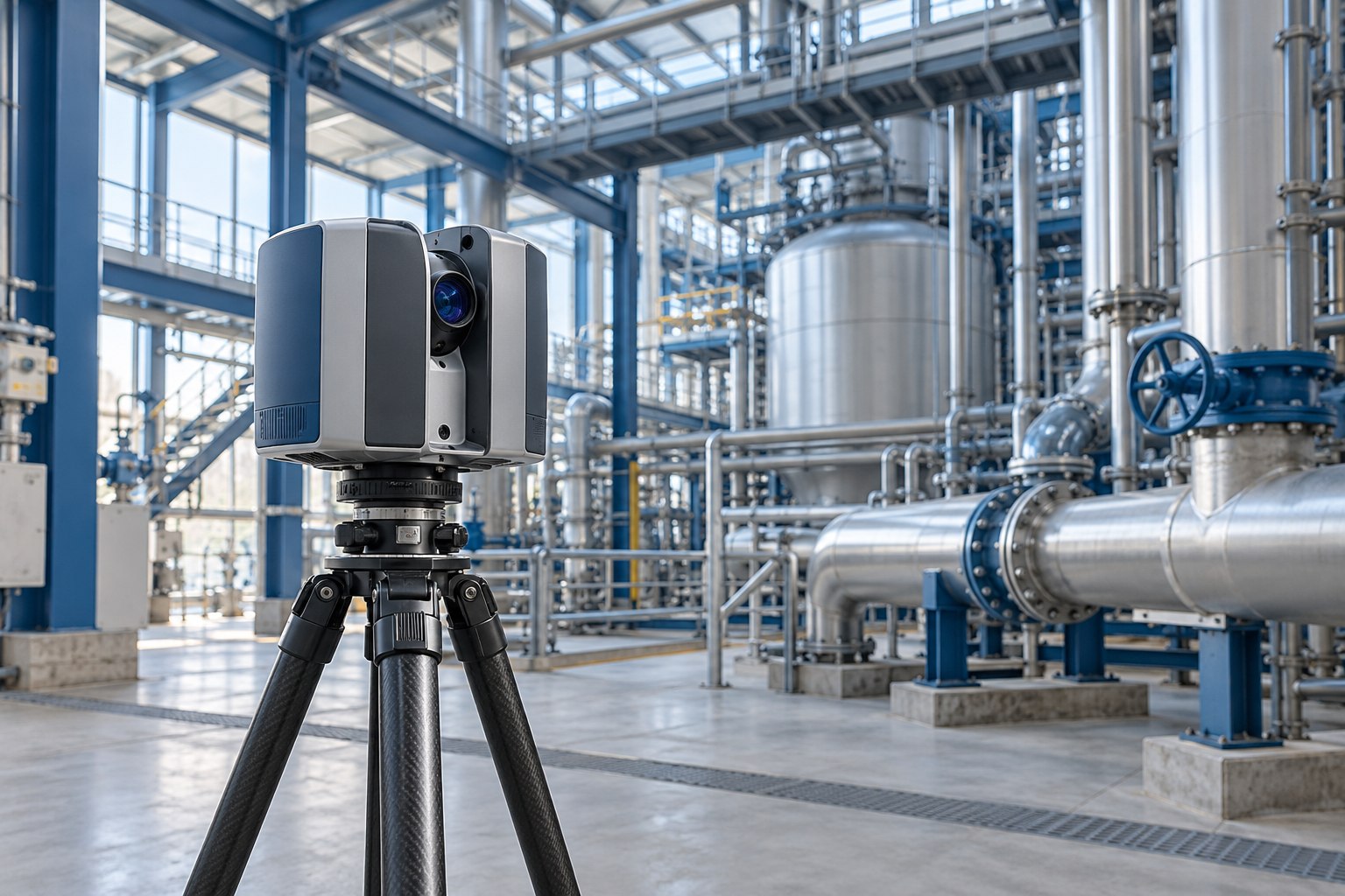
Point clouds and 3D representations for complex geometry, existing spaces and volume applications.
GPR, radio detection and electromagnetic induction for underground utilities and anomalies.
Al Khobar, Saudi Arabia
Why Saudi Comet
Surveying is about more than the instrument. It takes experienced people, the right methods and a disciplined approach to the work.
Saudi Comet combines decades of field experience with specialist survey technology and CAD capability. From the first measurements to the final mapped output, our teams connect the realities of the site with the requirements of the project.
Get to know Saudi CometWhere our expertise applies
How we work
Technical work begins with a well-defined scope and ends with survey information prepared for its intended use.
Establish the survey area, required detail, site conditions and deliverables before fieldwork begins.
Bring together the survey team, instruments and capture methods suited to the assignment.
Process and check the field information, then prepare the agreed drawings, maps or digital survey data.
Project enquiries
A few practical answers to help you prepare your enquiry.
Discuss a requirementInclude the site location, approximate survey area, type of work and intended timing. Tell us how the information will be used and whether drawings, reference data or a written brief are available.
Yes. Our capabilities include 3D laser scanning for structures and spaces, alongside underground surveys using ground penetrating radar, radio detection and electromagnetic induction. The methods and scope are agreed around the project requirement.
Survey manpower and equipment supply form part of our services. Share the type of support, location and intended duration with our team.
Contact Saudi Comet
Discuss a survey requirement, ask about our capabilities, or contact the company about careers and business opportunities.